Skip to content
SaltyTours

About Iceland

Republic of Iceland

Iceland is a Nordic island in the North Atlantic, home to just under 400,000 people spread across 103,000 square kilometres. That makes it one of the emptiest countries in Europe. Two thirds of everyone lives in Reykjavík and the southwest, which is why the rest of the island feels as open as it does.

The country is volcanically and geologically active, and it shows. The interior is bare: sand, moss-covered lava, mountains and glaciers, with glacial rivers running down through the lowlands to the sea. The Gulf Stream keeps the climate milder than the latitude suggests, but it never makes the summers warm.

The settlement

A Greek explorer wrote about this island in 360 BC, six days sail north of Scotland, and called it Ultima Thule. Centuries later the Vikings, who could build ships and navigate, came looking for it properly.

The Book of Settlement puts the beginning at 874, when the Norwegian chieftain Ingólfur Arnarson became the first settler. Others had tried before him. One of them, Flóki Vilgerðarson, had such a bad time that he left again — and gave the island the name Iceland on his way out. Between 870 and 950 settlers arrived mostly from Norway, some from Sweden and Denmark, bringing Gaelic thralls with them.

They governed themselves through the Althing, one of the oldest parliaments still working anywhere. Iceland came under Norwegian rule in the 13th century, then Danish rule in 1814, won home rule in 1918 and became a republic in 1944.

How the country earns its living

For most of its history Iceland lived on fish and farming, and was among the poorest countries in Europe. Industrialised fishing and Marshall Plan money after the war changed that fast.

The banking system collapsed entirely in October 2008. Bankers went to prison, capital controls went on, and the recovery came in large part from tourism. Today the country runs almost completely on renewable energy — hydro and geothermal — which is also why every village has an outdoor swimming pool open all winter.

Language and culture

Icelandic comes down from Old Norse and has changed little enough that people here can still read the medieval sagas. Most Icelanders descend from Germanic and Gaelic settlers, and the sagas, the food and the literature all come from that.

Iceland has the smallest population of any NATO member and is the only one with no standing army. A lightly armed coast guard does the job instead.

The Capital

Reykjavik is the capital of Iceland with about 128,000 inhabitants (2019) or nearly 40% of the total population of Iceland. It has the government, Parliament and most of the government offices. The Parliament “Althing”, which is considered to be the oldest in the world, assembled in Reykjavik in 1845. The city is spread over a vast area (242 km²) but the distances to reach natural surroundings are short. “Ellidaar River”, one of the country’s salmon rivers, runs right through town and anglers are often landing salmon from this clear and unpolluted river under the bridge of a busy motorway. Iceland’s first settler, Ingolfur Arnarson, made his permanent residence in Reykjavik in the year 874 according to one of the Sagas “The Book of Settlement” and the area has been inhabited ever since. Upon arrival, Ingolfur saw steam rising from hot springs near a cove and therefore named the bay “Reykjavik” – The Smoky Bay.

There are many boreholes used to reach to geothermal water and now the hot water is pumped directly from the ground into all houses in the greater capital area providing inexpensive central heating and resulting in a smoke-free city in fact today more than 90% of homes in Iceland are heated with geothermal water.

Hafnarfjordur

This town is also known as The Town in the Lava Field or The Town of the Elves. It received its municipal rights in 1908 and developed around one of the most important trading posts for centuries. It is the fourth-largest town in the country. It is beautifully situated in the lava landscapes and has a very nice, small park called Hellisgerdi in the old centre. The town has a very good, natural harbour, which is among the main attractions.

Every summer the very popular Viking Festival is celebrated for almost a week. It attracts visitors from all over the world.

The distance from the capital is 12 km.

Geysir

This most famous and former largest spouting hot spring of the world probably was created during an extended earthquake period at the end of the 13th century. According to one of the annals, two large hot springs were created in the Haukadalur Valley in 1274, and many were ruined and disappeared. Silica deposits have created a mound around Geysir and its bowl measures about 18 metres across. The main natural shaft of the spring is 18 m deep and 2 m across.

For centuries on end, Geysir erupted and attracted tourists, but after the turn of the 19th century its activity diminished and after 1916 it has been very irregular.

The highest measured eruptions reached over 80 m and before it erupted it rumbled and small tremors were felt. The hot spring area surrounding Geysir is about 500 m long and 100 m wide.

There are dozens of hot springs within the present active area and some of them spout as Geysir did. The most prominent one is Strokkur (The Churn), which spouts at intervals of 3-5 minutes. The hot spring area is fenced off and was declared inviolate in 1953.

Gullfoss

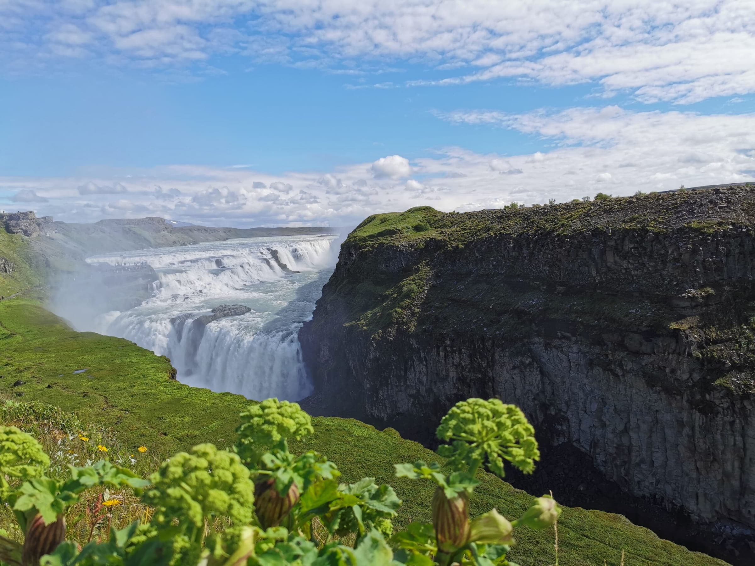
The Golden Waterfall (Gullfoss) is situated in the upper River Hvita (White River). The water cascades down two steps, one 11 m high, and the other 22 m, into the roughly 2 km long canyon below the waterfalls. This canyon was created at the end of the Ice Age by catastrophic floods and is lengthened by 25 cm a year by constant erosion.

Sigríður Tómasdóttir was born in Brattholt in 1874 and lived there her whole life. Sometimes it was quite lively at the farm because visitors came from all corners of the world to see the renowned waterfalls Gullfoss. The sisters at the farm were very fond of the waterfalls and acted as guides for the visitors. The sisters laid the first path to Gullfoss.

At the turn of the 19th century, foreign investors were interested in exploiting Icelandic waterfalls for electrical production. An Englishman was interested in Gullfoss and offered Tomas, Sigridur’s father, 50,000, oo Ikr. for the waterfalls, but his answer was: “I do not sell my friends”. Financiers, who later got their hands on the waterfalls, wanted to harness them. Then Sigridur’s fight to save the waterfalls started. Her opponents were many of the country’s most powerful and richest men. She took on many long and difficult journeys, i.e. walks to Reykjavik (120 kilometres one way) to further her cause. At a time, when all seemed lost, she threatened to throw herself in the waterfalls.

Sigridur died in 1957 and was buried in the Haukadalur cemetery. She will always be remembered as the saviour of Gullfoss. The sculptor Rikhardur Jonsson made her memorial, which is standing by the waterfalls. Source: Brattholt’s website.

National Park Snaefellsjokull

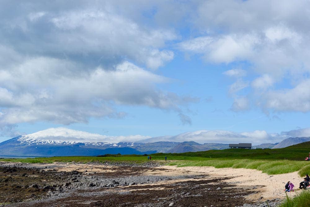
The Snaefellsjokull National Park was officially established on the 28th of June 2001, thus becoming the fourth national park of the country.

Within its boundaries are highly interesting geological phenomena and historical sites. According to geological findings, the volcanic drift belt crossed the Snaefells Peninsula about 6 million years ago.

Rivers, and later the ice age glaciation, carved the country and removed 500-1000 metres off the lava plateau.

Other historic monuments are scattered within the national park limits, some of which are connected with legends and historic novels. Two novels have put the Snaefells Peninsula permanently on the map, Jules Verne’s novel “The Journey to the Centre of the Earth”, and Halldor Kiljan Laxness’ novel “Christianity under the Glacier”.

Coves Djupalon & Dritvik

Djupalon is a pebble beach cove with bizarre lava formations and gorges at its end. From there it is only one kilometre’s walk to the west along the coastline to another cove, where there are prominent ruins of fishermen’s huts, sheds for storing the catch after processing it and lava walls used for drying the flattened fish in the sun.

At the beach are situated 4 big stones which people tried to lift and test their strength: Fully Strong 154 kg, Half-Strong 100 kg, Weakling 54 kg and Bungler 23 kg.

The iron wreckage on the beach partly belongs to the British trawler Epine GY-7, which ran aground just east of the skerry Dritvikurflogur in the evening of March 13th 1948. Rescue Corps from Arnarstapi, Hellnar and Hellissandur came immediately to the rescue.

Visitors are kindly asked not to move the wreckage!

Londrangar - Thufubjarg

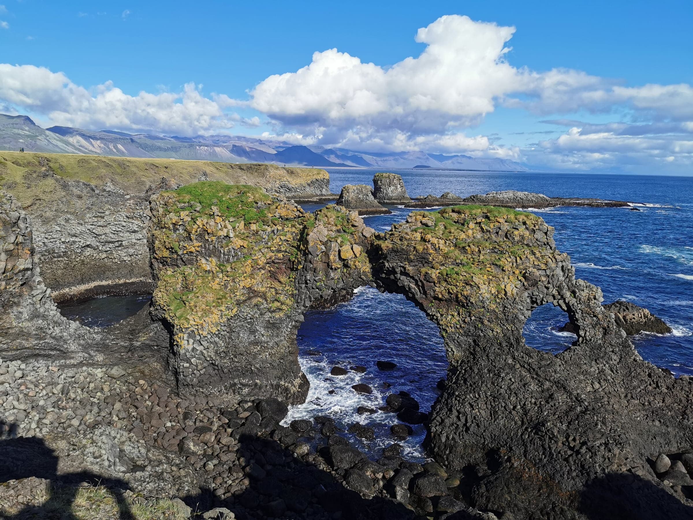
Londrangar is two prominent rocks, protruding from the coast just east of the lighthouse at Malarrif on the southern side of the Snaefellsnes peninsula. A few minutes’ walk up the well-vegetated hill Svalthufa takes you to the edge of the Thufubjarg cliff to watch the interesting bird life, such as guillemots and kittiwakes.

They and the hill are the remnants of a crater, which has been eroded to its present form by the sea. The farmers in the area never made or make hay on the hill, because it is said to belong to the elves living in the area.

The higher pillar was first climbed in 1735 and the lower in 1938.

Interior Highlands

Before Entering the Interior Highlands Check Your Nearest Information Centres! This pearl of the interior is situated in a valley between colourful mountains at the dark edge of the rhyolite lava field Laugahraun. Many hot and cold springs create a bathing warm brook, where people bathe.

The surroundings of Landmannalaugar are too colourful and magnificent to describe with words. The mountains are split with gullies and gorges, one of which, the Jokulgil, is about 13 km long.

Landmannalaugar is also the starting point for those, who want to hike to the Thorsmork area in the south. It is easy to walk there in three days, but many prefer to spend more time en route to be able to enjoy the trip to the utmost.

Thorsmork

Thorsmork is one of the brightest jewels of beautiful areas of the country, surrounded by rugged and majestic mountains, glaciers and glacial rivers, decorated with small birch woods and silver lined with humming streams. It is rather difficult to describe the charm of this area.

The Icelanders appreciate Thorsmork (The Forrest of Thor) much and visit it frequently the whole year round. Quite a few streams and rivers have to be forded to get there and no one should attempt that without the company of experienced people. The glacial rivers are unpredictable and the water flow changes constantly and unpredictably.

A newly added feature of attraction is a hot pool “Þórslaug”, to add to the delight of staying in Þórsmörk. Be sure to bring your swimwear with you!

Eyjafjallajokull eruption 2010

On March 20th 2010 just before midnight a half a kilometre long fissure opened up and an eruption started just to the west of the hiking trail Fimmvorduhals. Earthquakes and tremors had been monitored since the summer of 2009. The authorities were well prepared for the measures to be taken in case of an eruption. People were temporarily evacuated from the area and roads were closed.

April 14th 2010. Shortly after midnight, the mountain massif Eyjafjoll’s caldera started erupting. Flood waves rushed in two directions, mainly to the north into river Markarfljot’s wide valley, threatening farm communities and communications on rd 1 the Ring road, which was removed partly to save a relatively new bridge. Approximately 700 people were evacuated from their homes.

May 23rd 2010. The eruption has been dwindling during the week. A reporter flew over the crater in the afternoon and saw no sign of activity. The volcano has paused or the eruption is over.

Contact us for a quote

Contact Us for Personalized Tours

Enjoy a private day tour in Iceland, contact us for a quote today.